The Bruce Trail is the oldest and longest hiking trail in Canada; it is almost 900 km long, spanning from Niagara Falls at the U.S. border, all the way up to the Bruce National Park near the town of Tobermory on Lake Huron. Over the years, it has been bisected by countless roads and highways, where it has had to be modified to coexist with the province’s growing infrastructure. Across one section of the Bruce Trail in Burlington, hikers walk right under the highway.
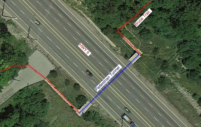
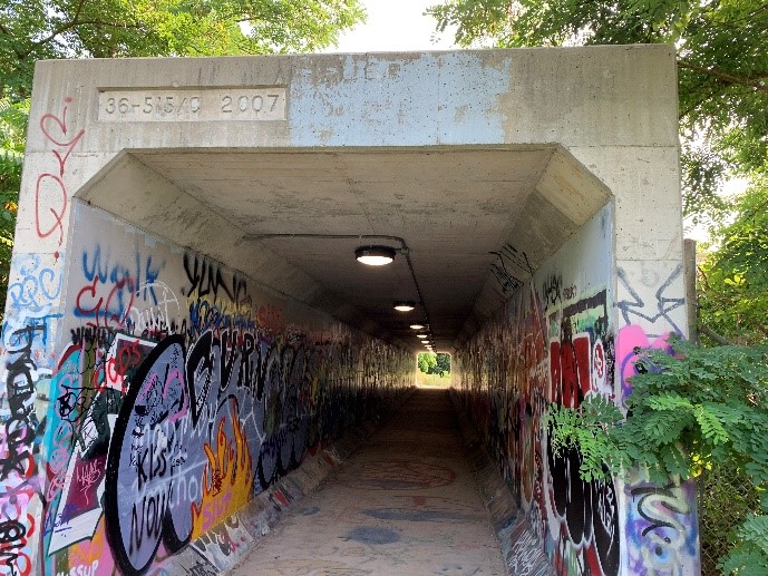
The Bruce Trail follows the base of the Niagara Escarpment, which is a huge geological rock cliff feature running through and around the Great Lakes. The escarpment’s short section through Burlington crosses Highway 6 just north of the Highway 403/Highway 6 interchange in an area called the “Clappison Cut” — because this part of the highway required a huge rock excavation up the escarpment. The trail crosses underneath Highway 6 in a pedestrian concrete tunnel (see Figure 1).

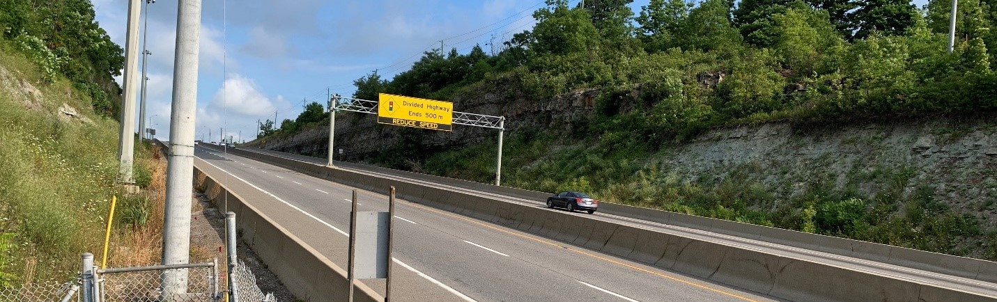
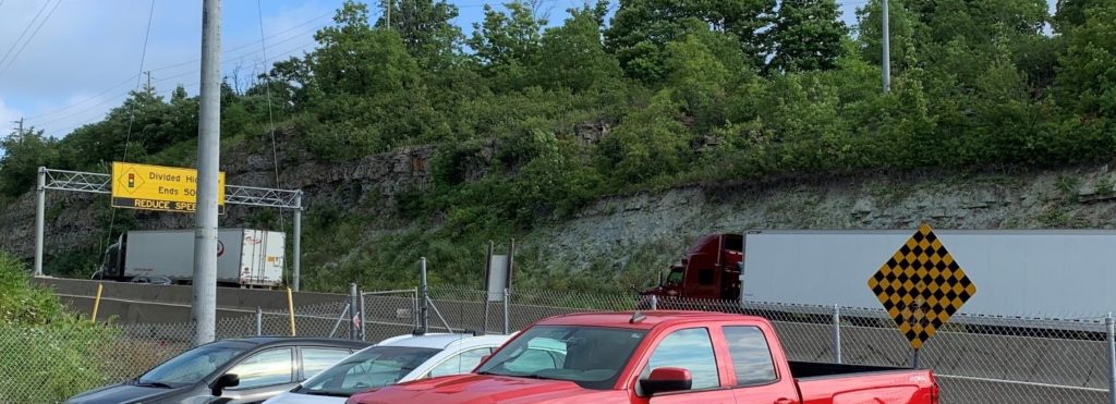
While most roads climbing the escarpment switchback their way up, Highway 6 cuts through perpendicularly, generating a huge rock excavation above and an equally huge rock fill below. Before 2007, hikers had to cross the road, dodging traffic (like Frogger, if you remember that game). The widening of the road included adding a concrete barrier in the median and chain link fences on both sides, making this crossing impossible (not that it was safe to begin with).
The highway now has two lanes in each direction plus an additional third northbound lane (uphill)for trucks. A fully-loaded tractor trailer going up that steep of an incline sometimes must downshift, making it go much more slowly than the rest of the traffic (see Figure 2); that third lane allows trucks to take their time climbing the grade at a slower pace without affecting the flow of traffic.
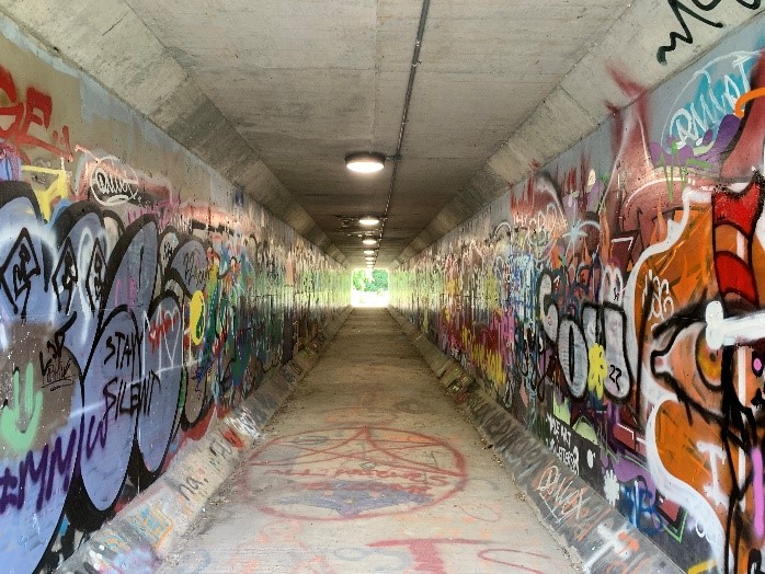
The pedestrian tunnel is a cast-in-place structural culvert measuring 2.9 m wide by 2.6 m tall and is 50 m long. All provincial structures are stamped with a serial number, for inventory purposes, and with the year it was built (its birthday year). Guess what year this tunnel was opened to the public (see Figures 3 and 4)?

This tunnel is owned and maintained by the Ontario Ministry of Transportation (not the city), who has jurisdiction over all highway assets and infrastructure.
The structure has thick robust walls and roof to support the fill above (called dead load) and the traffic overhead (called live load). Depending on how deep or shallow the culvert is from the roadway surface dictates whether the constant predictable dead load or the less predictable and variable live load will govern the design criteria of the structure. The fill over the tunnel most likely comes from the large rock excavation that was cut in through the escarpment just upslope. The reinforcing steel density is usually fairly high for these types of structures. Culverts under roads to carry people are designed the exact same way as culverts that carry water except that the ones carrying water need to slope to allow for flow, whereas this tunnel is fairly flat.
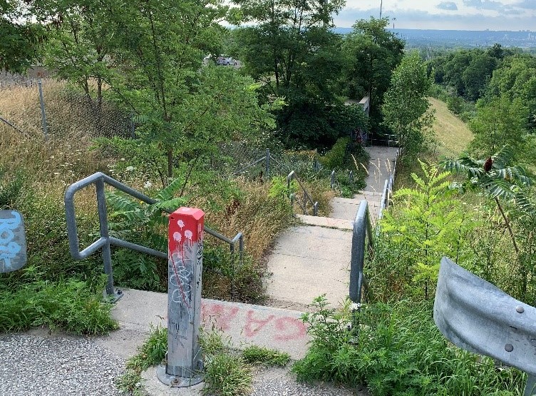
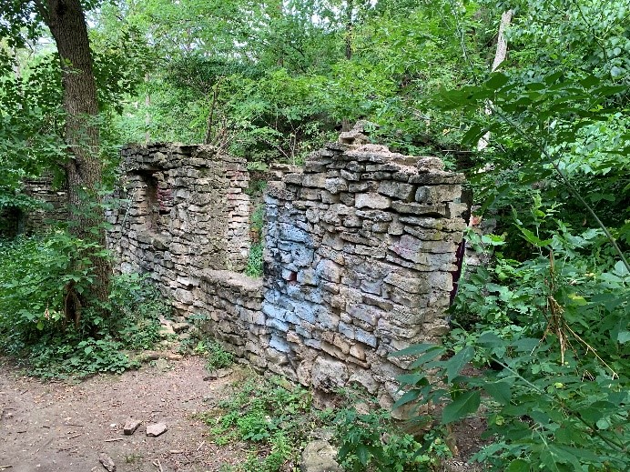
The approach from the east side is similar to that of the west side, with a set of stairs climbing down from the original Bruce Trail alignment (see figures 5 and 6).


The tunnel was built with more length than needed, allowing for a future road widening above. This is called future-proofing, which allows for the future expansion of neighbouring infrastructure without needing any modifications.
Without this tunnel, hikers would have to figure out how to get across the highway, and Canada’s longest continuous trail would lose its bragging rights, and that wouldn’t be right. Enjoy the hike and be safe!
Did you know…
Not only is it illegal to paint graffiti on public or private property, but it is also illegal to leave graffiti on your property even if you didn’t paint it. City bylaw requires property owners to “keep the property free of graffiti.” Allow me to introduce you to the Highway 6 Pedestrian Tunnel!
Have you seen an interesting building or piece of infrastructure in or around southern Ontario that you’d like Eric Chiasson, your personal engineer, to write about?
Send us your suggestions, comments, or questions to articles@local-news.ca and we’ll see what Eric can find out!
Sources:
HiiKER. The Bruce Trail. Url: https://hiiker.app/trails/ontario/niagara/the-bruce-trail. (accessed Aug. 7, 2022).
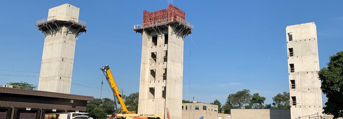
Ontario Ministry of Transportation and AECOM. 2020. Welcome to Public Information Center #1. Record-Breaking Precast Nu Girders Installed in Alberta. Url: Hwy403_Hwy6_PIC1_June_25_2020.pdf (hwy403hwy6preliminarydesignea.ca). (accessed August 6, 2022).
UNESCO. Niagara Escarpment Biosphere Reserve. Url: https://en.unesco.org/biosphere/eu-na/niagara-escarpment. (accessed August 6, 2022).
For more information on the author: https://www.linkedin.com/in/eric-chiasson-10601082