Burlington city councillors have received a massive study containing dozens of recommendations on how to protect the unique environment in southwest Aldershot.
These are public lands owned by the City of Burlington, Halton Region and the Royal Botanical Gardens (RBG). The 147 hectares south of Highway 403 and west of Waterdown Road support many Carolinian and southern plants, including rare and uncommon species, endangered and threatened species, and species at risk.
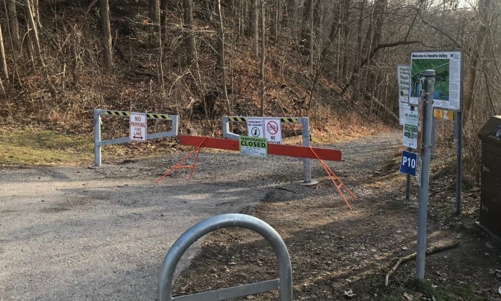
The study, which was prepared for the Cootes to Escarpment EcoPark System, outlines the challenges and opportunities faced by this unique area, including: problems with pedestrian trail connections, wildlife crossings, trail erosion, vegetation removal, invasive species, illegal dumping, cycling safety, traffic impacts and more.
According to the report, people are both part of the problem and part of the potential.
“A major overarching management issue is the anticipated increase in use that will result from future development and the associated population growth. Increased use…has the potential to degrade the natural, recreational and cultural resources.”
The report says the area is very desirable due to its natural beauty and recreational opportunities — therefore, developers should pay for the privilege of building in Aldershot.
“It is thus fitting that management or mitigation of any population-induced negative impacts resulting from development…should be contributed to by development proponents…it would be incumbent on planning authorities (Burlington and Halton) to consider increased use pressures and likely environmental impacts in their assessment of development applications.”
On the other hand, the report suggests that people should be encouraged to enjoy the area and efforts made to attract more tourists: “The history of Hendrie Park and Laking Gardens is connected to the history of early growers in the Aldershot area. An opportunity exists to develop local and regional awareness of this history and to support tourism for those interested in the horticultural heritage of this part of Ontario.”
Specific tourism opportunities suggested include the establishment of interpretive centres in Hidden Valley Park to celebrate the history of the Applegarth Mill and to mark the story of William Hendrie and his impact on horse breeding. Local schools and daycares could be encouraged to offer environmental education and outdoor classrooms in the EcoPark.
The authors go on to challenge Tim Hortons to get involved. There is a Tims on Plains Road West, close to the lands being studied.
“Explore opportunities to establish a partnership with them to promote the EcoPark brand at the café providing leaflets and educational materials to customers. There may be an opportunity to engage Tim Horton’s [sic] camps that could offer educational environmental-based camps through the EcoPark System partners.”
Safety, however, may be a concern.
Specifically, the report outlines traffic-related threats to people using the local trail system. The biggest seems to be the trail crossing at Unsworth Avenue between Hendrie Valley and Hidden Valley.
According to the report, it “is currently not well signposted and there is little warning to drivers on Unsworth…[t]here are opportunities for the City to improve safety of this crossing by adding signage, line-marking and potentially a flashing signal to warn motorists approaching the pedestrian crossing.”
The report also calls for the establishment of a safe pedestrian crossing on Plains Road West near the bus stops in front of the RBG Centre.
Parking facilities should also be improved.
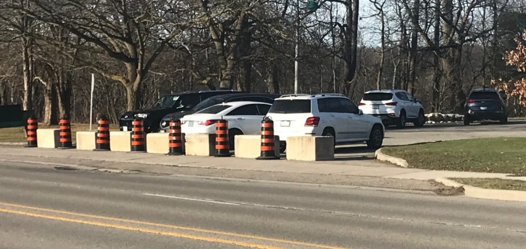
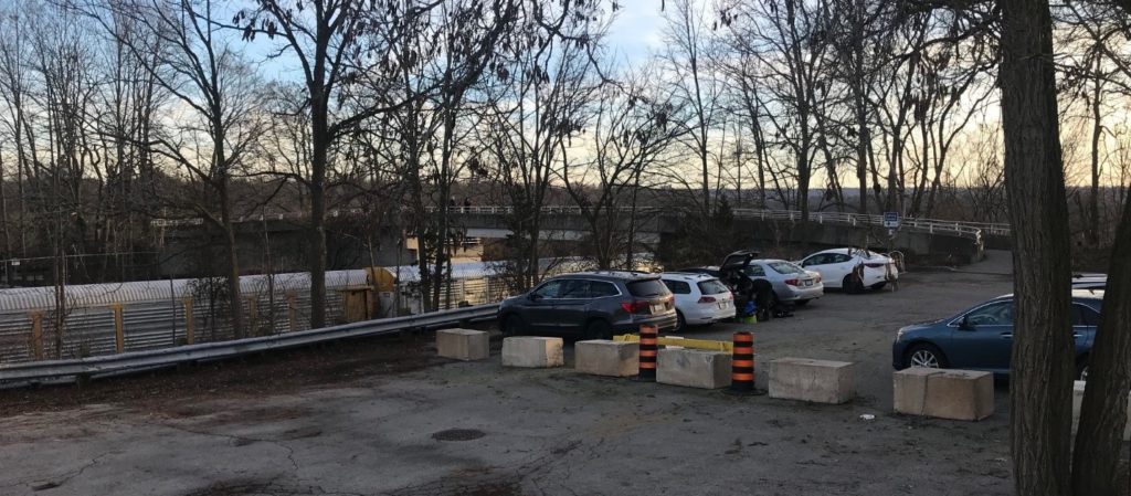
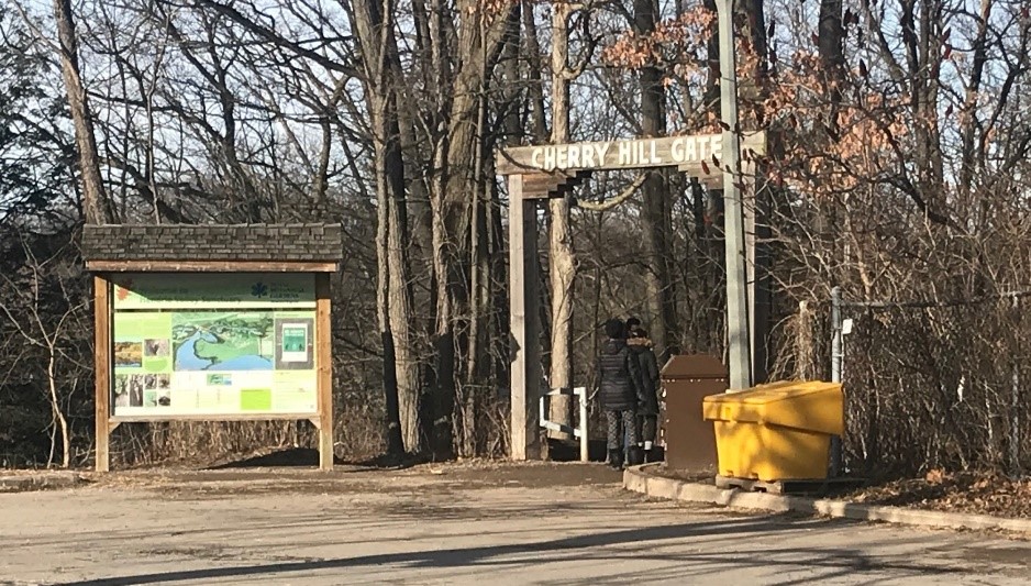
The RBG parking lot in front of the Cherry Hill Gate trail entrance is described as “chaotic with pedestrians and vehicles, and without proper wayfinding signage and pathways.” The report warns of “inherent safety concerns” and recommends that one of the lot entrances off Plains Road be permanently closed. In fact, one of the entrances was recently blocked off with temporary cones.
The railway crossing pedestrian bridge at the RBG’s Laking Garden parking lot is described as posing accessibility issues with the steepness of its ramp and winter maintenance problems.
There are also safety concerns at Valley Inn cove with vehicles parking on the roadside conflicting with pedestrians.
The report adds that cycling is also a safety issue.
“Cycling use along Plains Road West has been identified as a recreation issue mainly due to safety concerns. …[t]he relatively narrow area within the shoulder of the roadway is not a cycling facility.” In fact, as part of its 2021 budget, the city is planning to improve the bike lanes in the area.
Existing regulations can be confusing for cyclists.
“Since cycling is not allowed on RBG lands, there is a disconnect in the trail system between the RBG and Hidden Valley. Cyclists traveling westbound in Hidden Valley, who are unfamiliar with the area (or with RBG’s policies), encounter confusing signage that makes decision-making difficult whether to continue west of Unsworth Avenue on the RBG trail system.”
The report recommends improved signage to alert cyclists to the prohibition on RBG property and urges the city and RBG to work together to help build an EcoPark system-wide recreation plan for hiking and cycling trails.
There are problems with obstacles to the natural movement of wildlife, including the 403, the CNR tracks, Unsworth Avenue and Spring Gardens Road.
One of the biggest culprits is, again, Plains Road West.
“Plains Road West serves as a significant barrier to both north-south and east-west wildlife movement. …[t]he main issue…relates to reptiles, particularly Blanding’s Turtle, which have been reported as nesting in the RBG Works Yard adjacent to Plains Road West. The population of this species is being impacted by mortality on Plains Road West.”
The report recommends that authorities investigate the need for and feasibility of implementing wildlife corridors and wildlife crossings whenever an environmental assessment process is initiated and develop a program to track and analyze roadkill data in order to quantify the magnitude of the problem. It calls on the City of Burlington to get involved.
Plains Road also has a problem with road salt and its negative impacts on the environment.
“De-icing agents applied to roads during winter months mixes with surface run-off and is eventually discharged in the nearest watercourse. This issue is likely most prevalent along Plains Road West, as run-off would be directed to Grindstone Creek.”
The report suggests that the City of Burlington review its salt management plan to look for opportunities to minimize the impacts of de-icing agents where run-off discharges into Grindstone Creek.
Finally, people should not be feeding the wildlife. It is a serious problem in the area. This is particularly true at Valley Inn cove and in the Hendrie Valley.
“Trail users actively feeding birds, chipmunks, ducks, geese, swans, and other wildlife is a specific concern. It is so prevalent that the behavior [sic] of wildlife has appeared to have adapted and now have an expectation of being fed.”
The report claims that: “Signage has no apparent impact on preventing feeding, which is a practice that may be spread by word of mouth and social media, and has rapidly become widely known amongst the community and visitors.”
The report recommends more public education, more assertive signage, active enforcement, and spreading the message to youth through outdoor classrooms and other programs.
With specific regard to Valley Inn, the report goes even further. It recommends that discussions take place with the aim of transferring the area from the city to the RBG and that a viewing platform be built to reduce pedestrian damage to the vegetation.
Burlington councillors will receive and comment on the report at a meeting later this week.